Playas de Manta
8
UNIVERSIDAD LAICA ELOY ALFARO. MANTA- MANABI. FACULTAD DE HOTELERIA Y TURISMO. CARRERA: TURISMO. NOMBRES: RAMIREZ MONTANERO EDWIN JOHAN GONZALES MOYA BRAIS JEISSON ZAMBRANO VELEZ SEMESTRE: I “A” TURISMO. NOMBRE DEL PROFESOR: LCDA.MARIA ROSARIO ALAVA MATERIA: INGLES
-
Upload
johan-montanero -
Category
Documents
-
view
39 -
download
0
description
AQUI PODRAS ENCONTRAR INFORMACION RESUMIDA Y CONCRETA DE LAS PLAYAS DE LA HERMOSA CUIDAD DE MANTA SUS PAISES SU GASTRONIMA SU LIMPIEZA ETC
Transcript of Playas de Manta
UNIVERSIDAD LAICA ELOY ALFARO.
MANTA- MANABI.
FACULTAD DE HOTELERIA Y TURISMO.
CARRERA:
TURISMO.
NOMBRES:
RAMIREZ MONTANERO EDWIN JOHAN
GONZALES MOYA BRAIS
JEISSON ZAMBRANO VELEZ
SEMESTRE:
I “A” TURISMO.
NOMBRE DEL PROFESOR:
LCDA.MARIA ROSARIO ALAVA
MATERIA:
INGLES
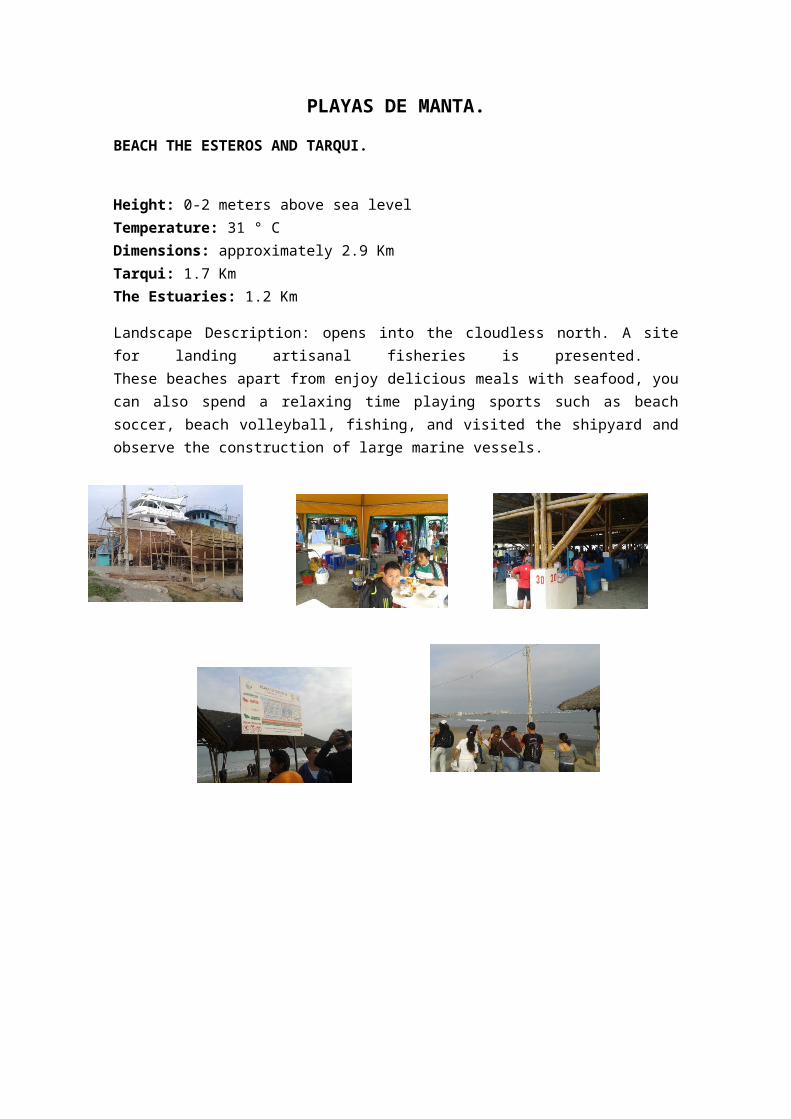
PLAYAS DE MANTA.
BEACH THE ESTEROS AND TARQUI.
Height: 0-2 meters above sea level Temperature: 31 ° C Dimensions: approximately 2.9 Km Tarqui: 1.7 Km The Estuaries: 1.2 Km
Landscape Description: opens into the cloudless north. A site for landing artisanal fisheries is presented. These beaches apart from enjoy delicious meals with seafood, you can also spend a relaxing time playing sports such as beach soccer, beach volleyball, fishing, and visited the shipyard and observe the construction of large marine vessels.
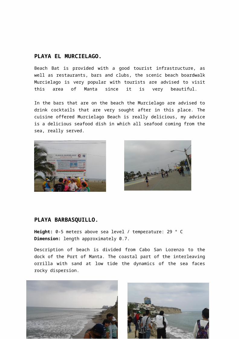
PLAYA EL MURCIELAGO.
Beach Bat is provided with a good tourist infrastructure, as well as restaurants, bars and clubs, the scenic beach boardwalk Murcielago is very popular with tourists are advised to visit this area of Manta since it is very beautiful.
In the bars that are on the beach the Murcielago are advised to drink cocktails that are very sought after in this place. The cuisine offered Murcielago Beach is really delicious, my advice is a delicious seafood dish in which all seafood coming from the sea, really served.
PLAYA BARBASQUILLO.
Height: 0-5 meters above sea level / temperature: 29 ° C Dimension: length approximately 0.7.
Description of beach is divided from Cabo San Lorenzo to the dock of the Port of Manta. The coastal part of the interleaving orrilla with sand at low tide the dynamics of the sea faces rocky dispersion.
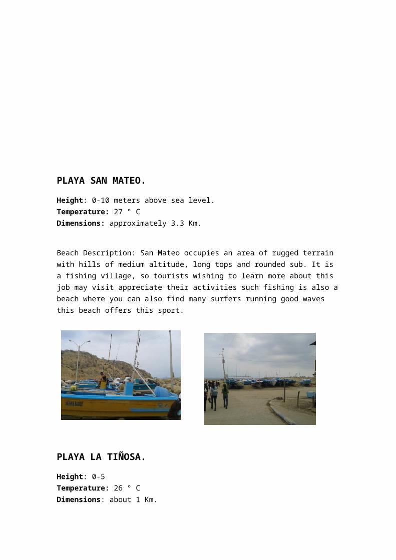
PLAYA SAN MATEO.
Height: 0-10 meters above sea level. Temperature: 27 ° C Dimensions: approximately 3.3 Km.
Beach Description: San Mateo occupies an area of rugged terrain with hills of medium altitude, long tops and rounded sub. It is a fishing village, so tourists wishing to learn more about this job may visit appreciate their activities such fishing is also a beach where you can also find many surfers running good waves this beach offers this sport.
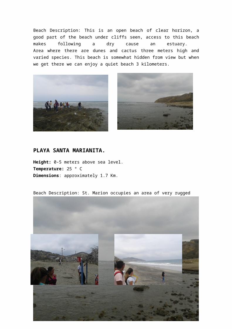
PLAYA LA TIÑOSA.
Height: 0-5 Temperature: 26 ° C Dimensions: about 1 Km.
Beach Description: This is an open beach of clear horizon, a good part of the beach under cliffs seen, access to this beach makes following a dry cause an estuary. Area where there are dunes and cactus three meters high and varied species. This beach is somewhat hidden from view but when we get there we can enjoy a quiet beach 3 kilometers.
PLAYA SANTA MARIANITA.
Height: 0-5 meters above sea level. Temperature: 25 ° C Dimensions: approximately 1.7 Km.
Beach Description: St. Marion occupies an area of very rugged terrain, with hills of medium height, elongated ridges and are composed of silty subredondeadas fine-medium grained sandstones. The only flat area corresponds to intercolina Pacoche River valley, along which much of the population lives in dispersed form.
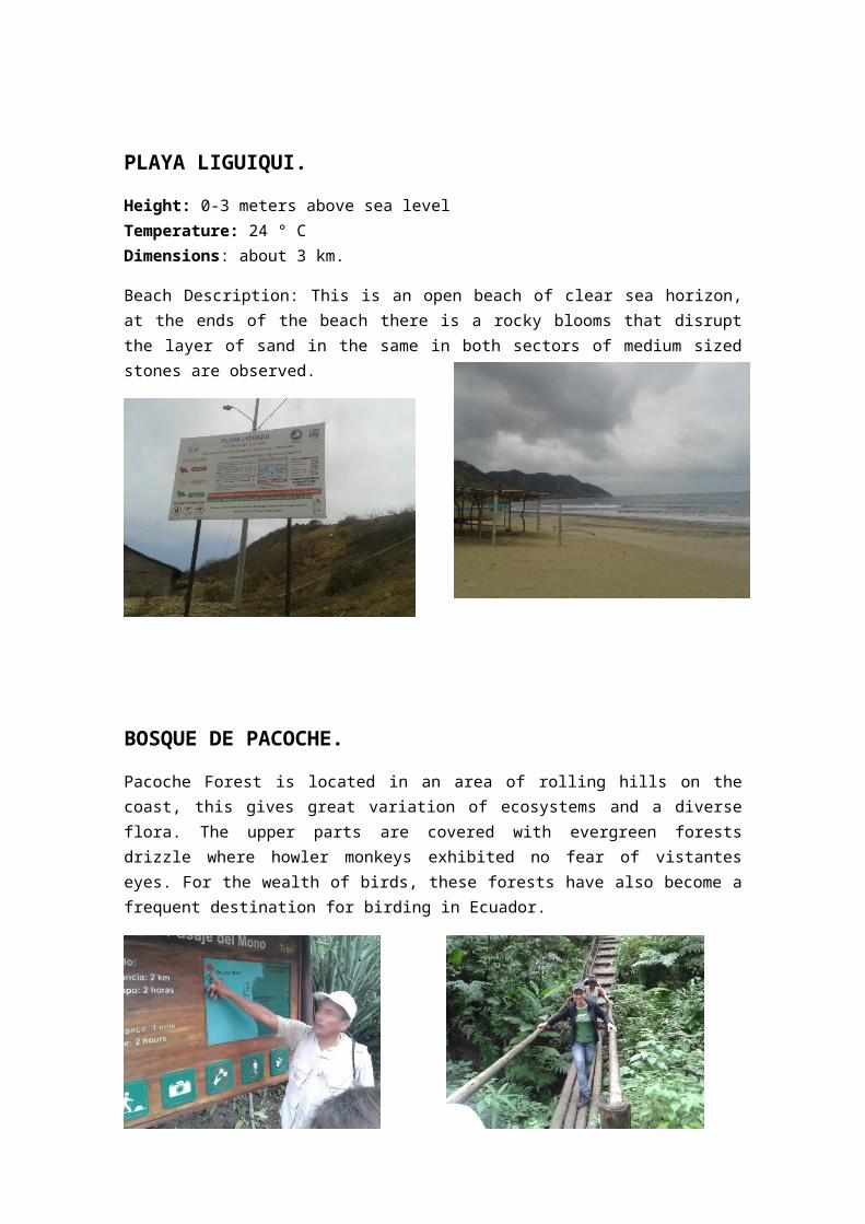
PLAYA LIGUIQUI.
Height: 0-3 meters above sea level Temperature: 24 ° C Dimensions: about 3 km.
Beach Description: This is an open beach of clear sea horizon, at the ends of the beach there is a rocky blooms that disrupt the layer of sand in the same in both sectors of medium sized stones are observed.
BOSQUE DE PACOCHE.
Pacoche Forest is located in an area of rolling hills on the coast, this gives great variation of ecosystems and a diverse flora. The upper parts are covered with evergreen forests drizzle where howler monkeys exhibited no fear of vistantes eyes. For the wealth of birds, these forests have also become a frequent destination for birding in Ecuador.
San Lorenzo, Las Piñas, Río Caña, Sta. Rosa
Height: 0-10 meters above sea level Temperature: 23 ° C Dimensions: 1.7 miles San Lorenzo, Las Piñas 2.7 km, 1.5 km Río Cañas, Santa Rosa 2.5 km
Beach Description: The ocean horizon is clear, the outline of the Isla de la Plata is appreciated. Some cliffs are seen along the coast line with rock outcrops. San Lorenzo.- is a wide expanse of beach that can be seen from the height of the lighthouse from which we can also make out the silhouette of the island of La Plata. San Lorenzo has an ecological reserve of approximately 50 acres that is protected to prevent ecological degradation.